|
Getting your Trinity Audio player ready...
|
Nigeria’s NASDRA EU Launch €2.7m Satellite Project to Boost Food Security
Nigeria’s federal government and the European Union have inaugurated a €2.7 million agricultural initiative that uses satellite technology to help farmers make better decisions about what to plant, when to plant it, and how to manage their land as climate pressures increasingly threaten food production across the country.
The project, titled “Earth Observation for Food Security and Agricultural Productivity in Nigeria,” is being jointly implemented by Nigeria’s National Space Research and Development Agency and the European Space Agency. Rather than building new physical infrastructure, the initiative is centered on turning satellite data into practical, usable information for farmers and herders, covering everything from soil conditions and crop suitability to environmental risk assessment and land-use planning.
Gautier Mignot, the EU’s Ambassador to Nigeria, said the project is funded under the bloc’s Global Gateway strategy and is designed to run for three years, supporting farmers and herders with space-based information that can guide decisions that have traditionally relied on guesswork or inherited local knowledge alone. He explained that the initiative would deploy modern technologies to promote climate-smart farming practices, improve livestock management, and help modernize farming systems more broadly. Mignot also said the EU specifically chose to partner with Nigeria because the country has already shown it is advancing technologically, and that the project is meant to help position Nigeria as a hub for agricultural innovation across the wider African continent, rather than simply importing a solution built elsewhere.
A Nigerian government official speaking at the inauguration said the administration remains committed to achieving food security, reducing the country’s dependence on food imports, strengthening agricultural value chains, and pushing the sector toward more modern, technology-driven practices, framing the satellite project as one concrete piece of that broader strategy.
The partnership didn’t appear out of nowhere. Hugh Briggs, the EU’s Programme Manager for Agriculture in Nigeria and West Africa, had described the groundwork for the initiative well before its formal launch, explaining that ESA would supply the technical expertise behind the satellite analysis while NASRDA would handle the actual on-the-ground execution. That execution plan centers on helping smallholder farmers, who make up the overwhelming majority of Nigeria’s agricultural workforce, understand their own soil conditions, which crops are realistically suited to their land, and when planting should actually happen based on data rather than tradition alone. As part of the rollout, NASRDA identified seven ecological zones across Nigeria’s diverse farming regions where demonstration farms would be established, each equipped with digital mapping tools, soil analysis capability and precision farming technology. Briggs also said the program would identify and recruit young people within local communities and train them directly in these new techniques, giving the project a workforce development dimension alongside its technical goals.
Nigeria isn’t new to using satellites for agricultural purposes either, which likely made the country an easier partner for the EU to work with. The country launched NigeriaSat-1 back in 2003, giving it more than two decades of experience collecting satellite data to monitor crops and manage natural resources. NASRDA has since developed two agriculture-focused nanosatellites, EduSat-1 in 2017 and EduSat-2 in 2021, and launched a dedicated agricultural monitoring system called CropWatch in July 2024, which already uses satellite imagery to track crop conditions nationally.
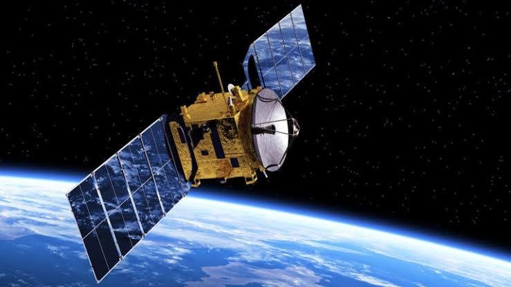
The EU-NASRDA initiative also fits into a broader pattern of Nigeria steadily expanding its use of space-based tools for farming well beyond this single project. The federal government has separately approved the development of four new satellites, three dedicated to Earth observation and one carrying Synthetic Aperture Radar technology, intended to strengthen the country’s capacity to monitor borders, agriculture, disasters and the environment all at once. NASRDA Director-General Matthew Adepoju has said the agency is working to deploy those satellites specifically to improve surveillance and expand Nigeria’s overall Earth observation capacity. More recently, Nigeria launched a separate system called the National Agro-Productivity System, an AI and satellite-powered monitoring platform built in partnership with agribusiness firm OCP Africa and geospatial intelligence company Ground Truth Analytics, designed to track crop areas, forecast yields and support decisions on food reserves, imports and climate resilience. NASRDA has also convened workshops specifically focused on using satellite data to improve irrigation mapping, working alongside the University of Manchester, the University of Delaware, the Bill and Melinda Gates Foundation and aerospace company Airbus, showing just how many international partners Nigeria has pulled into its growing space-for-agriculture push.
Taken together, the €2.7 million EU-funded project represents one piece of a considerably larger strategy Nigeria has been building over the past couple of years, one that treats satellite data not as a novelty but as genuine working infrastructure for a food system under mounting pressure from climate change, land degradation and a rapidly growing population. Whether that strategy translates into measurably higher yields and reduced import dependence for Nigerian farmers will likely depend on how effectively the data these various satellites and platforms generate actually reaches the smallholder farmers the initiatives are ultimately designed to serve.